Where is American Samoa?
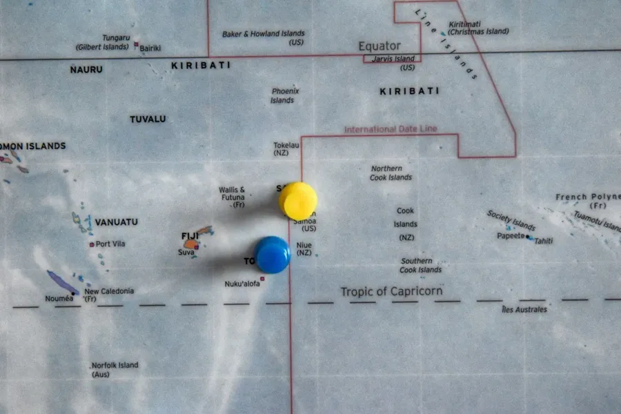
Discovering American Samoa has to start somewhere and its location is as good a place as any… So, where is American Samoa located? American Samoa is an unincorporated territory of the United States located in the Oceania region of the South Pacific Ocean.
It sits about 1,600 mi (2,600 km) northeast of New Zealand and 2,500 mi (4,000 km) southwest of Hawaii, nestled among other South Pacific nations and territories such as Independent Samoa, Tokelau, Tonga, Fiji and the Cook Islands.
American Samoa consists of five volcanic islands and two coral atolls, with a total land area of 76.8 mi² (199 km²).
We’ll go through all that and more in this quick guide, answering the question, "Where is American Samoa located"?
This article is based on real on-the-ground research, not on AI scraping old content from the internet. Learn how we use AI!
Table of Contents
Quick Facts About American Samoa
Population: 49,710
Landmass: 76.8 mi² (199 km²)
Languages: English and Samoan
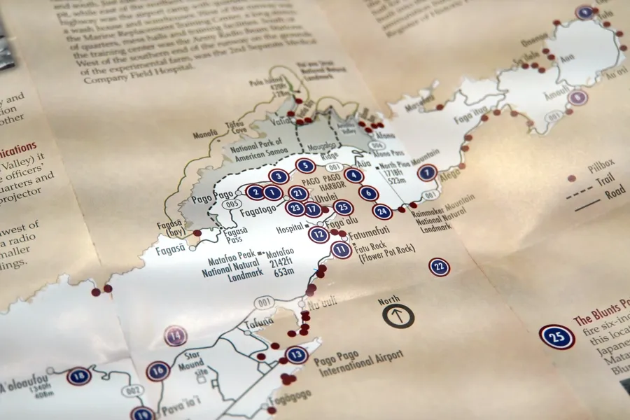
Capital: Pago Pago
Currency: U.S. Dollar (USD)
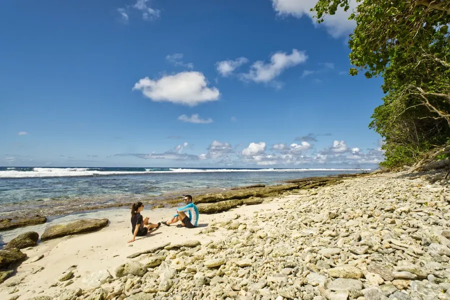
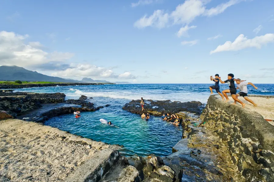
Famous for: Stunning volcanic landscapes, lush rainforests, pristine beaches, traditional American Samoan culture, having a refreshingly underdeveloped tourism industry, hiking in the National Park of American Samoa, and being the only U.S. territory south of the equator.
Where is American Samoa on the World Map?
American Samoa is located on the Oceania continent in the Southern Hemisphere.
This U.S. territory lies in the South Pacific Ocean about 2,500 mi (4,000 km) southwest of Hawaii and 1,600 mi (2,600 km) northeast of New Zealand. It is situated approximately 930 mi (1,500 km) south of the Equator.
The South Pacific Islands Near American Samoa
American Samoa is surrounded by other South Pacific islands: Samoa lies just 43.5 mi (70 km) to the west, Tokelau is 289 mi (465 km) to the north, Wallis and Futuna are 233 mi (370 km) to the northwest, Fiji is 528 mi (850 km) to the southwest, and Tonga and Niue are 186–354 mi (300–570 km) to the south.
How Big is American Samoa?
American Samoa covers a land area of approximately 76.8 mi² (199 km²).
It consists of five volcanic islands and two coral atolls. The largest and most populated island is Tutuila which includes the capital Pago Pago. Other main islands include Aunu'u, Ofu, Olosega and Ta‘ū, while the coral atolls are Swains Island and the uninhabited Rose Atoll.
Learn more about the islands in our guide, The Best Islands to Visit in American Samoa.
Note that American Samoa is a U.S. territory, distinct from the independent nation of Samoa, which you can learn more about in What's the Difference Between Samoa and American Samoa?
Maliu Mai Beach Resort
from US$160/night
Geography of American Samoa
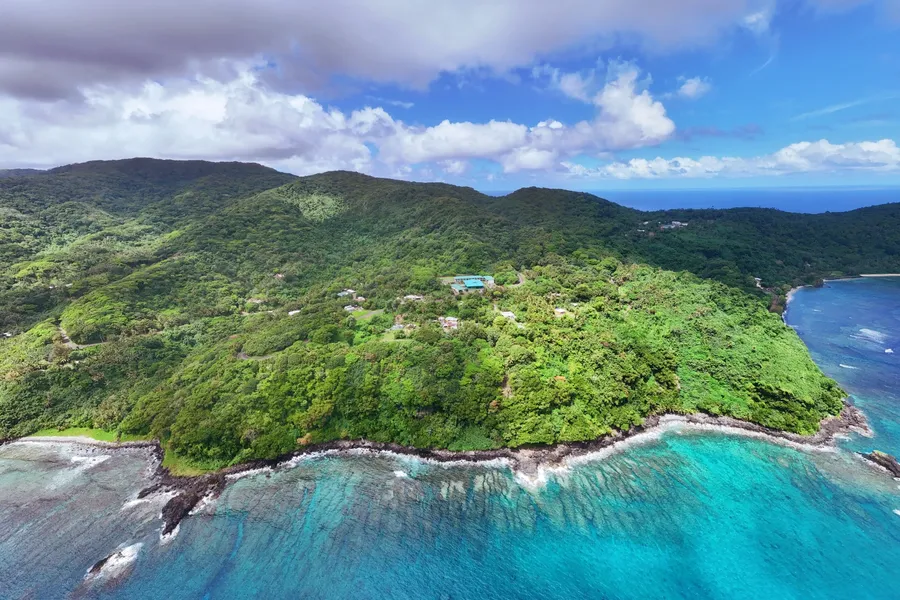
American Samoa is made up of five rugged volcanic islands and two coral atolls, characterised by mountainous terrain, lush rainforests and narrow coastal plains.
The largest island Tutuila is home to the capital Pago Pago and features dramatic peaks and deep bays, including the scenic Pago Pago Harbour.
To the east of Tutuila lies Aunu‘u, a small volcanic island.
Further east are the Manu‘a Islands—Ofu, Olosega and Ta‘ū, known for their striking cliffs, secluded beaches and traditional way of life.
The highest peak in American Samoa is Mt Lata on Ta‘ū Island, reaching 3,169 ft (966 m).
Two remote coral atolls, Swains Island and Rose Atoll, complete the territory. Rose Atoll is a protected wildlife sanctuary and is uninhabited.
Frequently Asked Questions About the Location of American Samoa
Here are the answers to some of the most commonly asked questions about the location of American Samoa.
Where is the American Samoa Island Located?
American Samoa is located in the South Pacific Ocean, in the continent of Oceania. It lies roughly halfway between Hawaii and New Zealand, just east of the independent nation of Samoa.
What Country Does American Samoa Belong To?
American Samoa is an unincorporated territory of the United States. While it governs its own internal affairs, the U.S. is responsible for its defence and international relations.
What is the Physical Geography of American Samoa?
American Samoa consists of volcanic islands with steep mountains, narrow coastal plains, lush rainforests and two remote coral atolls. Its landscape is dramatic and rugged, especially on the main island of Tutuila.
Where is American Samoa in Relation to New Zealand?
American Samoa is located approximately 1,615 mi (2,600 km) northeast of New Zealand. The territory sits roughly halfway between Hawaii and New Zealand in the South Pacific Ocean.
Which Country is Closest to American Samoa?
The closest country to American Samoa is Samoa, located just 43 mi (70 km) to the west. Other nearby nations include Tonga to the south and Fiji to the southwest.
Is American Samoa Part of Hawaii?
No, Hawaii is a U.S. state, while American Samoa is a U.S. territory. They are both located in the Pacific Ocean but are over 2,500 mi (4,000 km) apart.
Is American Samoa Part of the USA?
Yes, American Samoa is an unincorporated territory of the United States. This means it belongs to the U.S. but is not a state, and residents are U.S. nationals rather than full U.S. citizens.
Can You See Samoa from American Samoa?
No, you cannot see Samoa from American Samoa with the naked eye. The two countries are separated by approximately 43 mi (70 km) of ocean. However, on very clear days from high vantage points on Tutuila, some locals claim you might be able to make out the faint outline of Samoa's mountains on the horizon.

Editor's Choice
Alofas Tours
Experience the authentic beauty of American Samoa with our family-run Alofas Tours! Join us for a captivating four-hour journey around our stunning island, where we'll share the heart and soul of...
More About Where American Samoa is Located
That's it for our guide on where American Samoa is located but by no means the end of our interesting facts about the islands. In fact, we have more articles for your reading pleasure:
- 10 Fun Facts About American Samoa
- 10 Best Places to Visit in American Samoa
- 10 Best Historical Sites in American Samoa
And if you're planning a trip to American Samoa, don't miss our 30 Tips for Travelling in American Samoa.