How Long Does it Take to Travel Around American Samoa?
Whether you're wondering how long it takes to explore the island of Tutuila or how to get between Tutuila and the Manu‘a Islands, this guide to American Samoa's travel times and distances has you covered! From winding coastal roads to scenic ferry rides, here’s everything you need to know about getting around.
American Samoa? Wait, maybe start with Where is American Samoa Located? if you're just getting your bearings.
This article is based on real on-the-ground research, not on AI scraping old content from the internet. Learn how we use AI!
Table of Contents
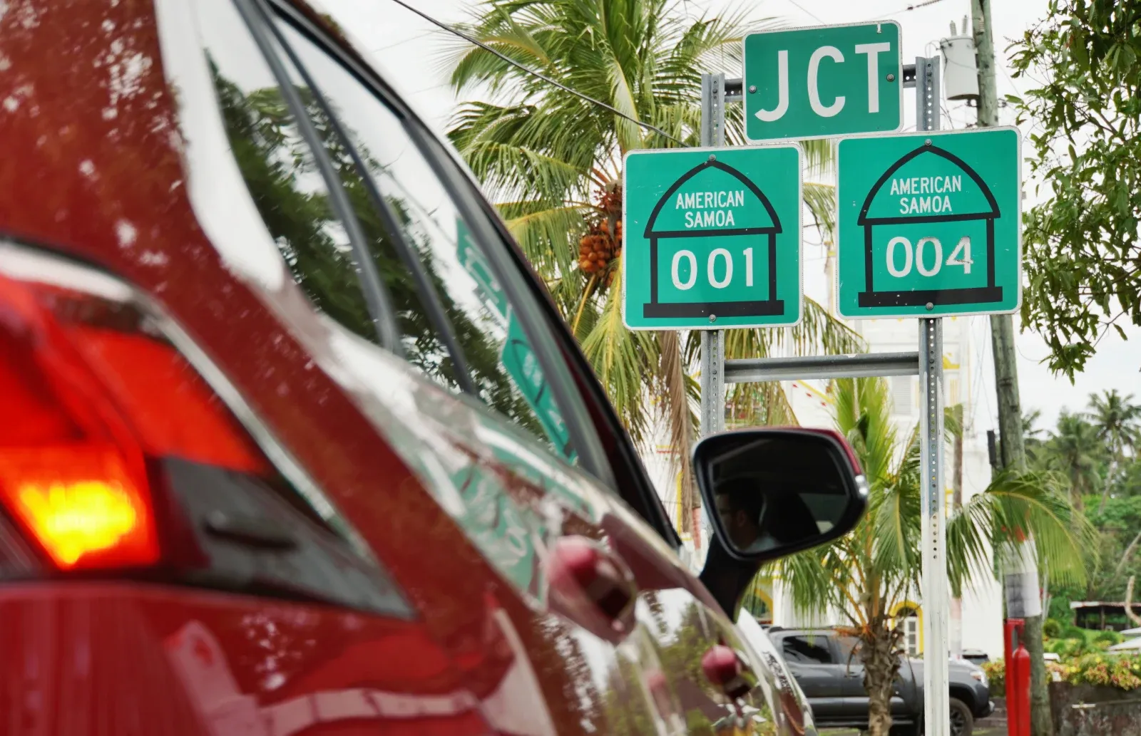
How to Get Around American Samoa
Inter-island travel in American Samoa is possible via scheduled ferries and small alia boats, mainly between Tutuila and the Manu'a Islands (Ta'ū and Ofu), with departures from Pago Pago Harbor.
Flights also operate several times a week between Tutuila and Ofu and Ta'ū. On Tutuila itself, getting around is easy with rental cars, shared taxis, day hires and the colourful yet affordable 'aiga buses.
Find out more about getting around in our full American Samoa Transport Guide.
Travel Times On/From Tutuila
Tutuila is the main island of American Samoa and where nearly all visitors arrive, typically via Pago Pago International Airport. See Which Airlines Fly Directly to American Samoa? to find out how long it takes to get here.
You can get around the island by rental car, taxi, 'aiga buses or guided tours. For more details, check out our American Samoa Transport Guide: 10 Best Ways to Get Around American Samoa.
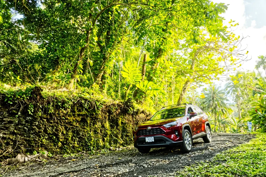
How Long Does it Take to Drive Around Tutuila?
Driving the full length of Tutuila’s main coastal road (from the west end near Poloa to the east end near Tula) takes about 1 hr 40 mins without stops. The road is approximately 34 mi (54 km) long, winding past lush mountains, beaches and coastal villages.
Driving Times from Pago Pago (Town Area) to:
(Kilometres / Miles / Minutes)
- Fagatogo (Administration Centre): 1.6 km / 1.0 mi / 3 mins
- Tula (East Coast): 23.6 km / 14.7 mi / 40 mins
- Poloa (West Coast): 30.4 km / 18.9 mi / 55 mins
- National Park Visitors Centre: 0.7 km / 0.4 mi / 2 mins
- Tisa’s Barefoot Bar (Alega Beach): 10 km / 6.2 mi / 18 mins
- Blunt’s Point Trailhead: 3.7 km / 2.3 mi / 7 mins
Driving Times from Pago Pago Airport to:
(Kilometres / Miles / Minutes)
- Pago Pago (Town Area): 14.8 km / 9.2 mi / 28 mins
- Fagatogo (Administration Centre): 13.2 km / 8.2 mi / 26 mins
- Vatia (National Park Area): 28.3 km / 17.6 mi / 55 mins
- Poloa (West Coast): 17.5 km / 10.9 mi / 33 mins
- Tula (East Coast): 38.4 km / 23.9 mi / 1 hr 6 mins
Boat & Flight Times from Tutuila to:
- Aunu‘u Island: 1.5 km / 1 mi / 10–15 minutes by local boat
- Ofu & Olosega (Manu'a Islands): 100 km / 60 mi / 35 minutes by plane / 6-8 hours by ferry
- Ta‘ū Island (Manu'a Islands): 110 km / 68 mi / 40 minutes by plane / 8-10 hours by ferry
- Swains Island: 320 km / 199 mi / Only accessible by chartered boat (10+ hours, weather dependent)
Learn more about inter-island transport in our guide, Domestic Flights in American Samoa: Your Guide to Interisland Flights.
Walking Times on Tutuila
You've probably heard that Pago Pago and American Samoa are a pretty good place for hiking too. For National Park and other trail times, take a look at the 15 Best Walks & Hikes in American Samoa.
Travel Times On/From the Manu‘a Islands
The Manu‘a Islands, Ta‘ū, Ofu and Olosega, are remote yet deeply rewarding destinations in American Samoa. These islands are typically accessed via flights from Tutuila, followed by boat rides or bridge crossings to the neighbouring islands.
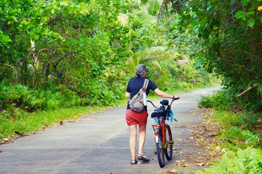
Once on land, travel options are limited to your accommodation's transfers or possible bicycle or car rental service, or walking due to the limited infrastructure.
How Long Does it Take to Travel Around the Manu‘a Islands?
It takes approximately 24 minutes to drive the length of Ta‘ū, from its Ta‘ū Harbor on the west coast to the Saua Site on the east coast, covering around 14 km (9 mi).
Ofu and Olosega are much smaller and connected by a short bridge; walking between the two takes just 1-3 minutes. Otherwise, driving from the wharf on Ofu to as far as you can drive to the end of Olosega village takes 23 minutes.
For walking trail times, check out the 15 Best Walks & Hikes in American Samoa.
Walking and Driving Times on Ofu–Olosega:
(Kilometres / Miles / Minutes)
- Ofu Village to Olosega Village: 8.4 km / 5.2 mi / 17 mins (drive), 1 hr 50 mins (walk)
- Ofu Airport to Ofu Beach: 2.8 km / 1.7 mi / 1-4 mins (drive), 10-40 mins (walk)
- Ofu Village to Va'oto Lodge: 2.2 km / 1.4 mi / 4 mins (drive), 30 mins (walk)
- Ofu Village to Asaga Strait Bridge: 7 km / 4.3 mi / 12 mins (drive), 1 hr 30 mins (walk)
- Olosega to Asaga Strait Bridge: 1.3 km / 0.8 mi / 5 mins (drive), 17 mins (walk)
Driving Times on Ta‘ū (From Fitiuta Airport):
(Kilometres / Miles / Minutes)
- Fitiuta Lodge: 300 m / 984 ft / 1 min (drive) / 5 mins (walk)
- Saua Site: 2.2 km / 7,218 ft / 4 mins (drive) / 30 mins (walk)
- Faleasao: 9 km / 5.6 mi / 14 mins
- Luma (Ta‘ū Village): 11.7 km / 7.3 mi / 20 mins
- Si‘ufaga (Ta‘ū Village): 12 km / 7.5 mi / 20 mins
Boat & Flight Times to the Manu‘a Islands:
- Ofu & Olosega from Pago Pago: 100 km / 60 mi / 35 minutes by plane / 6-8 hours by ferry
- Ta‘ū Island from Pago Pago: 110 km / 68 mi / 40 minutes by plane / 8-10 hours by ferry
- Ta‘ū to Ofu: 18 km / 11 mi / 30–45 minutes (weather dependent)
Learn more about inter-island routes and schedules in our guide Domestic Flights in American Samoa: Your Guide to Interisland Flights and American Samoa Ferry Guide: How to Use the Ferry for Interisland Travel in American Samoa.
Editor's Choice
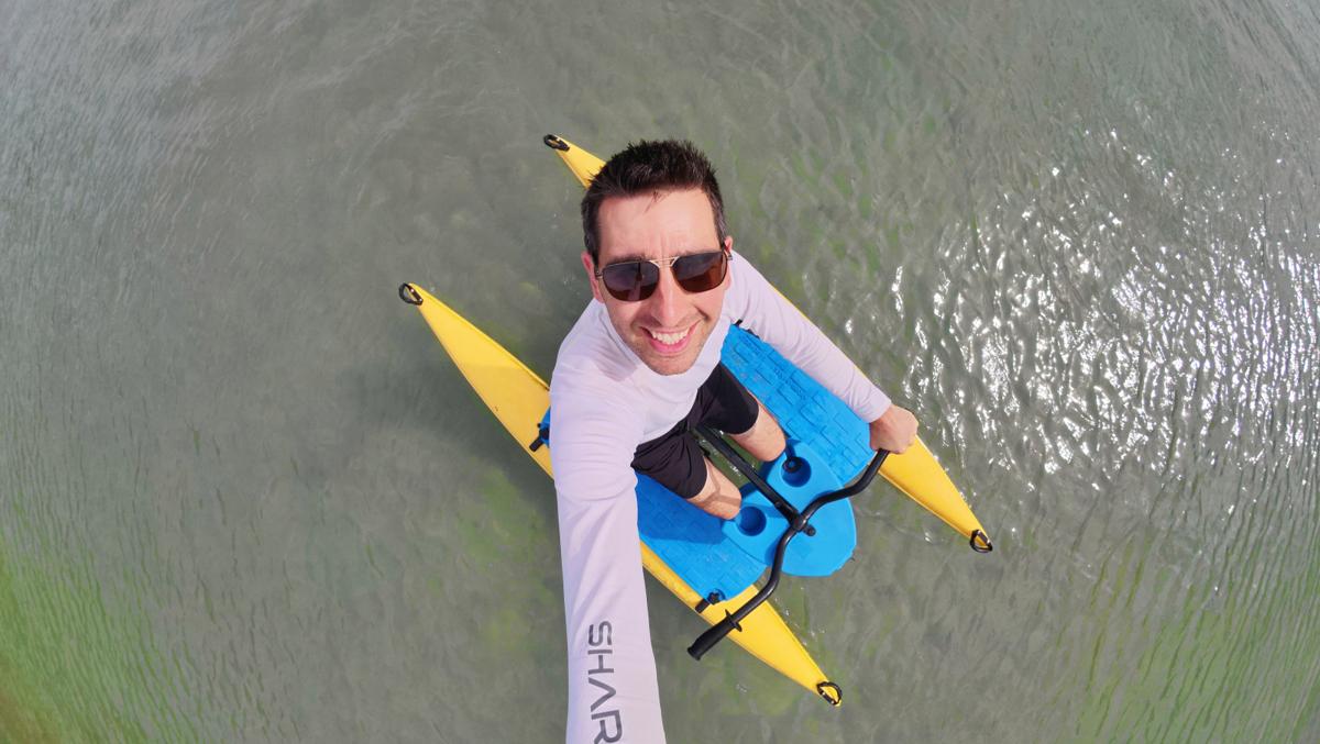
Adventures Unlimited
Experience Pago Pago Harbor like never before on our innovative waterbikes! Pedal across sheltered waters with twin-hull stability while discovering traditional fishing spots and ancient Samoan...
More About American Samoa Travel Times and How Long it Takes to Travel Around American Samoa
That's it for our guide to the American Samoa travel times and distances. Now that you know how long it takes to travel around American Samoa, see more travel times in the following articles:
- What are the Flight Times to American Samoa?
- Which Airlines Fly Directly to American Samoa?
- How Long Does it Take to Sail to American Samoa?
Finally, plan the rest of your adventure using The Best American Samoa Travel Guide and the 30 Tips for Travelling in American Samoa.